

3D Map Generator – Atlas
About This Project
3D Map Generator – Atlas
Photoshop plugin for creating individual 3D maps from your own ideas
For Photoshop from CC-2015.5 or newer, PC and MAC
The 3D Map-Generator – Atlas uses the Photoshop internal 3D engine and now finally lives up to it’s name. Together with the advanced tools of its predecessor TERRAIN in combination with the heightmapper it is unbeatably the best 3D Map Generator.
FASTER
Atlas generates 3D maps from every heightmap within minutes. You need no 3D knowledge or Photoshop knowledge at all. Heightmaps can be easily created with the plugin internal tools or downloaded with the help of the Heightmapper from almost every place of the world.
MORE INDIVIDUAL
Every angle of vision on the 3D map is possible. You can completely determine the height and map dimension and change it at any time. Also light and shadows are adjustable at will.
8 isometric map angle presets picture a 360 degree angle of vision. So the isometric icon sets will still match the final maps. Manually the map can of course be rotated steplessly. With the map reset function you can go back to the isometric basic setting at any time.
- Real 3D maps of every heightmap
- Up to 6000 x 6000 px heightmaps are supported
- Unlimited access to the Heightmapper
- 8 isometric directions as preset
- Map height and dimension setting
- Map and light reset function
- Map reminder function
- Auto-Texture generator
- Heightmap tools
- Texture gradient presets
- Background presets
- Contour lines tool
- Grid tool
- 3D file export (Collada, STL, OBJ, U3D)
- 3D printable maps
- Icons library to insert your own icons and elements into the plugin
- More than 80 isometric basic icons and elements
- Non-destructive creating process: The original grayscale heightmap document remains unchanged.
Map Reminder
With the map reminder function Atlas knows even on the next day, how big your generated 3D map is, what height it has and in which isometric angle it’s positioned (The plugin does not remember manually map settings).
Online Heightmapper
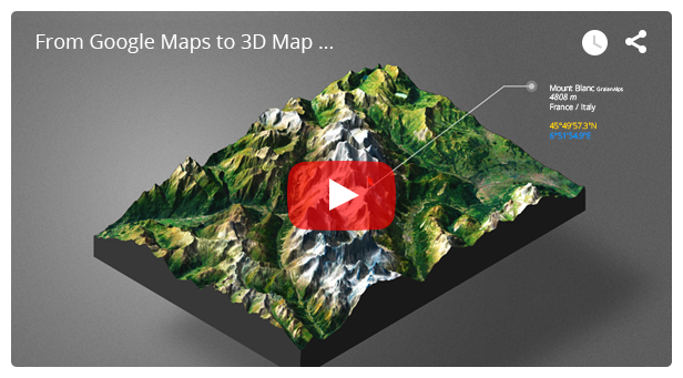
With the free online Heightmap browsers grayscale heightmaps from almost every place on earth can be downloaded and used for your 3D maps. Without any doubt the Heightmapper is the most easy to handle Heightmap source, because with the help of GPS coordinates (latitude and longitude) google map textures can easily be transferred pixel accurately to the 3D maps. Additionally to the Tangram Heightmapper there are also three alternative heightmap ressources available.
3D file export formats
The 3D map models (not the isometric icons) can be exported as the following file formats:
Collada (with texture), STL, OBJ and U3D
3D print
The 3D maps (not the isometric icons) can be printed with your own 3D printer or a 3D printing service.